Before you head out on your adventures, please remember to check the Important Updates and Site Marker Post Status pages for any changes to hikes, directions, or parks. You can also check the Get Outdoors Cumberland! Facebook page for information.
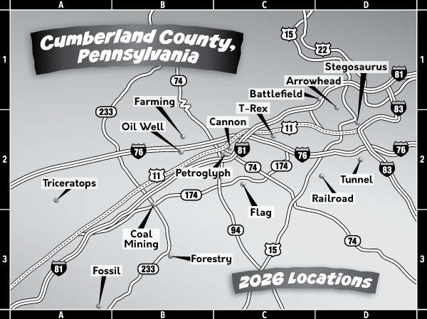
NOTE: For an interactive map, please visit the Site Marker Hikes page and click on the blue "Locations Map" button. individual site marker pages also contain specific GPS coordinate locations.
All directions were created starting from Cumberland County Courthouse, 1 Courthouse Square, Carlisle PA 17013. If you are traveling from a different area, please consult a map or other means to find starting points. Hours of operations are dawn to dusk unless otherwise noted or posted.
100 East Penn Drive, Enola, PA 17025
Directions to Parking Area: Get on I-81 N from E High Street and PA-641 E/W Trindle Road. Follow I-81 N to PA-944 E/Wertzville Road in Hampden Township. Take Exit 61 from I-81 N. (12.4 miles). Keep right onto Wertzville Road and drive for 2.0 miles. Turn right onto E Penn Drive, drive 0.6 miles, and turn right onto Magaro Road. Turn left into the park. Stay to the right and drive past the tennis courts to the back parking area, near a green playground structure and the West Enola Pavilion.
311 East North Street, Carlisle, PA 17013
Directions to Parking Area: Follow N Hanover Street for about 0.2 miles. Turn right onto E North Street for 0.4 miles. Turn left into the park and then left into the parking area.
55 Penn Drive, Newville, PA 17241
Directions to Parking Area: Get on I-81 S from S Hanover Street toward Chambersburg. Take Exit 37 from I-81 S (9.5 miles), toward Newville. Turn left onto PA-233 S/Centerville Road and drive for 1.5 miles. Turn right onto PA-174 W/Walnut Bottom Road and drive for 0.2 miles. Turn right onto Penn Drive and park in the stone parking area.
4345 Marketplace Way, Enola, PA 17025
Directions to Parking Area: Get on I-81 N from E High Street and PA-641 E/W Trindle Road. Follow I-81 N to PA-944 E/Wertzville Road in Hampden Township. Take Exit 61 from I-81 N. (12.4 miles). Turn left onto Valley Road and then left onto Marketplace Way. Drive 0.2 miles and turn left at the next left. Drive past the parking area on your right and make a left and then left to the parking area.
218 Shippensburg Road, Shippensburg, PA 17257
Directions to Parking Area: Follow W High Street and drive 1.0 miles. Turn right on N Orange Street, then an immediate left on PA-641 (Newville Road), and drive 21.7 miles. Turn left on PA-696 (Water Street/Shippensburg Road); continue for 1.0 miles. The park will be on the right. Park near the main entrance, with the pavilion to your right
Directions to Parking Area: Get on I-81 S from S Hanover Street toward Chambersburg. Drive 18.0 miles and take Exit 29 from I-81 S. Turn left on PA-174 E/Walnut Bottom Road and then turn right on Hershey Road for about 1.0 miles. The road then becomes Neil Road for about 1.0 miles. Turn left on Cleversburg Road, then right on White House Road. This will become Baltimore Road in about 1.0 miles. Continue for 1.5 miles, then bear right on Milesburn Road. Drive 5.4 miles and then turn left on Birch Run Road. The small parking area will be on your right at the trailhead.
418 Cumberland Road, Lemoyne, PA 17043
Directions to Parking Area: Get on I-81 N from E High St and PA-641 E/W Trindle Road. Drive 18.0 miles and take Exit 59 PA-581 E toward US-11/Camp Hill/I-83. Take Exit 6C for I-83 S toward I-76/York/Baltimore/Lemoyne to Lowther Street and drive for 0.5 miles. Turn left onto S 3rd Street and then left onto Market Street. Turn right onto N 5th Street for 0.3 miles. Turn right onto Cumberland Road and then left into the park and drive, keeping left, to the parking area.
220 Opossum Lake Road, Carlisle, PA 17015
Directions to Parking Area: Drive west on W High Street (US-11) for 1.0 miles. Turn right onto N Orange Street, then an immediate left onto PA-641 (Newville Road). Drive 0.6 miles. Turn right onto McClures Gap Road. Drive 2.9 miles. Turn left onto Campground Road and then bear left, staying on Campground Road. At the stop sign, continue straight onto Mt. Zion Road. When you see the lake ahead of you, drive past the first parking area on your right, by the dam. The road then curves sharply to the left past the dam and then right over a narrow bridge. The parking area is just past the bridge on the right side of the road.
1100 Pine Grove Road, Gardners, PA 17324
Directions to Parking Area: Get on I-81 S from the Hanover Street interchange. Drive 9.5 miles to exit 37 for PA-233 S. Turn left onto PA 233-S. Drive for 8 miles. Turn left onto Pine Grove Rd. Drive 0.1 miles. Turn right into the Fuller Lake Day Use Area parking area.
36 John King Lane, Mechanicsburg, PA 17050
Directions to Parking Area: Get on I-81 N from E High St and PA-641 E/W Trindle Rd. Drive 3 miles and take exit 52 A for US-11 toward New Kingstown. Take slight right onto US-11 N for 2.0 miles. Turn right onto W Main Street extended for 0.3 miles. Turn right toward John King Lane at New Kingstown Market Pizza and then turn right onto John King Lane. Drive to parking area on your left.
599 Lewisberry Road, New Cumberland, PA 17070
Directions to Parking Area: Get on I-81 N from E High Street and PA-641 E/W Trindle Road. Follow I-81 for 10.3 miles. Take Exit 59 to merge onto PA-581 E. Drive to Exit 6B-6C for I-83 S. Drive 2.3 miles to Exit 39A for PA-114/Lewisberry Road. Turn left onto Lewisberry Road (PA-114) for 1.5 miles to the park entrance on your right.
3 Giant Avenue, Carlisle, PA 17013
Directions to Parking Area: Take E High Street for about 0.5 miles and turn slight right onto York Road. Turn right onto Giant Lane and then turn left into the parking area.
2701 S. Market Street, Mechanicsburg, PA 17055
Directions to Parking Area: Take E High Street (PA-74) east and turn slight right onto PA-74 S/York Road for 3.0 miles. Turn left onto Shughart Road and drive 2.0 miles. Turn right onto Lisburn Road for 6.2 miles. Turn right onto S Market Street and then turn left into the park. Use the smaller parking area on your left as you enter.
640 West First Street, Boiling Springs, PA 17007
Directions to Parking Area: Take E High Street (PA-74/PA-641) for 0.5 miles and turn slight right on York Road (PA-74) for 0.5 miles. Turn right on Petersburg Road for 3.0 miles. Turn left on E Old York Road (PA-174 E) for 0.8 miles. Turn right into the park and turn right to park in the first parking area.
30 Park Road , Plainfield, PA
Directions to Parking Area: Take W High Street (US-11) west for 1.0 miles. Turn right onto N Orange Street (PA-64). Turn left onto Newville Road (PA-641) for 3.8 miles. Newville Road becomes E Main Street. Turn right onto Park Road to park entrance. Drive through the gates, turn right, then turn right into the first parking area. Park near the first pavilion.
